
The map above is a .jpg I put together from this large .pdf at a link off the San Diego County Emergency page. It’s from 6pm today, Pacific time. I like this one because it gets down nearly to the street level, and answers specific questions in the minds of millions of people who either live there, or know people who live there (as do we, for example).
Other excellent sandiegofire maps are at taoe.org and map.sdsu.edu. Some are more recent than the one above.
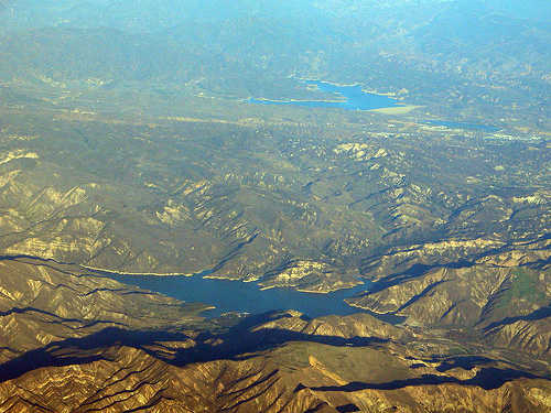
The Ranch Fire also continues to grow. This map shows its perimeters. And this aerial photo, taken in January 2006, shows that same area, still covered with vegetation, now mostly burned off:
Leave a Reply